Facts about Argentina
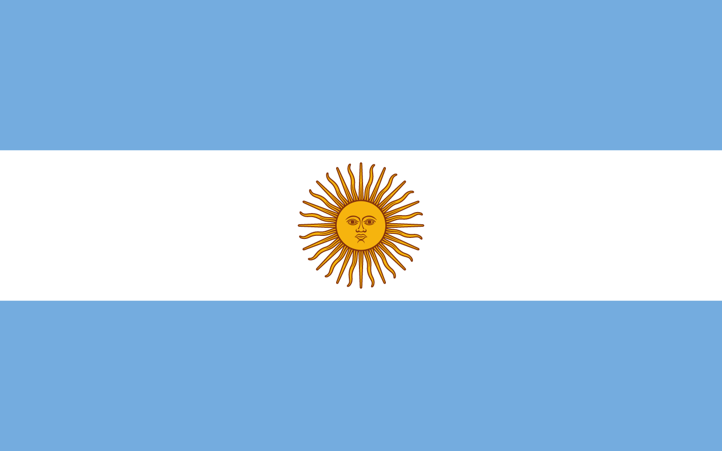
Argentina is a vast country located in the southern part of South America. It is …

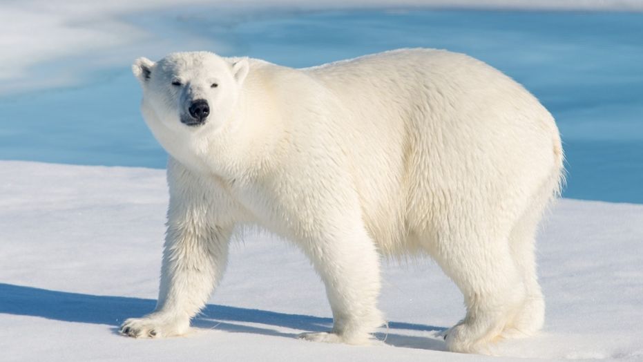
Amazing Facts, Random Facts and Funny Facts
Explore the world with our Geography Facts category. Discover interesting facts about continents, countries, landmarks, and natural wonders from all corners of the planet.
Argentina is a vast country located in the southern part of South America. It is …

Islands hold a certain allure and mystique, offering breath-taking natural beauty and unique ecosystems. With …

Peru is a country located in South America, known for its diverse culture, rich history, …

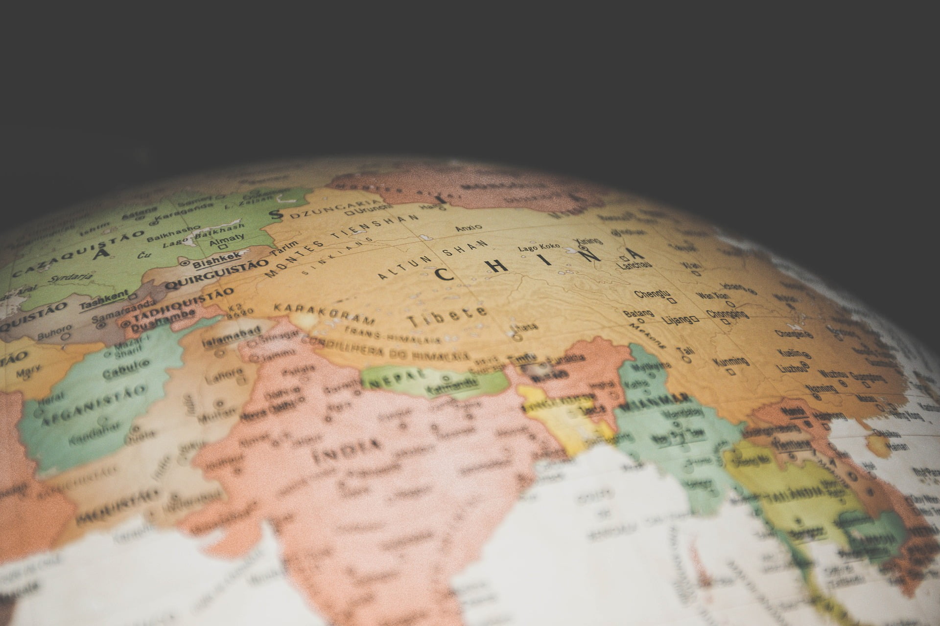
The Great Wall of China is one of the greatest wonders of the world. It …
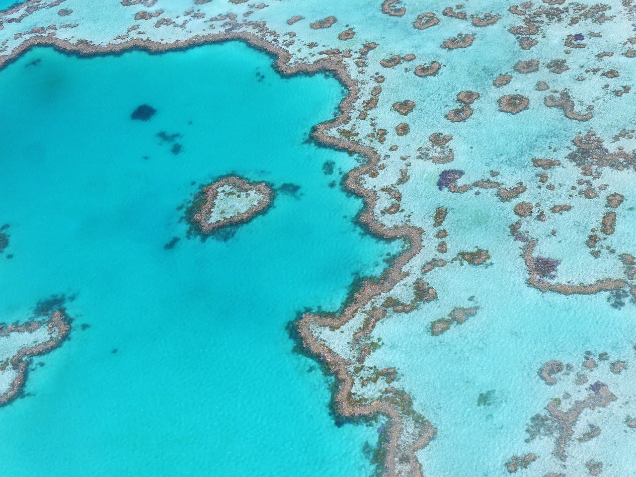
The Great Barrier Reef is one of the most incredible natural wonders in the world. …

The world is home to several large and infamous prisons, some of which have been …

There are five countries in the world that begin with the letter “J.” The list …

The letter Y is not a common starting letter for country names, which makes it …
There are currently 3 countries in the world that begin with the letter “I”. Those …

The River Tywi, sometimes referred to as the River Towy, is 75 miles (120km) long and is Wales’ longest river.

The world’s longest and deepest rail tunnel in the world is under the Alps in …